
Wrangell Cemeteries
So long as there has been life in Wrangell, there has been death. Many final resting places have been lost to history, but the ones we know about can teach us lessons.

The Indian CEMETERY
Established: 1876
Graves: There is no exact figure. This was a popular burial spot from the 1870s until the early 1900s. (FindAGrave.com)
Location: The woods between Heritage Harbor and Wrangell Memorial Cemetery. (Google Street View)
When Tsimshian missionary Philip “Clah” McKay requested a place for a burial ground from the U.S. Army, they selected this piece of land near what became “Cemetery Point.”

SHAKES GRAVE
Established: 1878
Graves: Kaawishté, the Fifth Shakes. Photos suggest others may have been also buried here at some point, but no markers remain.
Location: Across street from 701 Case Ave. (Google Street View)
Following the death of the fifth Shakes, Kaawishté, his survivors buried in him a prominent spot along the harbor, overlooking Shakes Island.

CHOQUETTE FAMILY CEMETERY
Established: Late 1800s
Graves: At least four, likely a few more.
Location: Top of the boardwalk to Petroglyph Beach. (Google Street View)
In the thick underbrush by Petroglyph Beach sits a cemetery known for an influential and historic Wrangell family, the Choquettes.
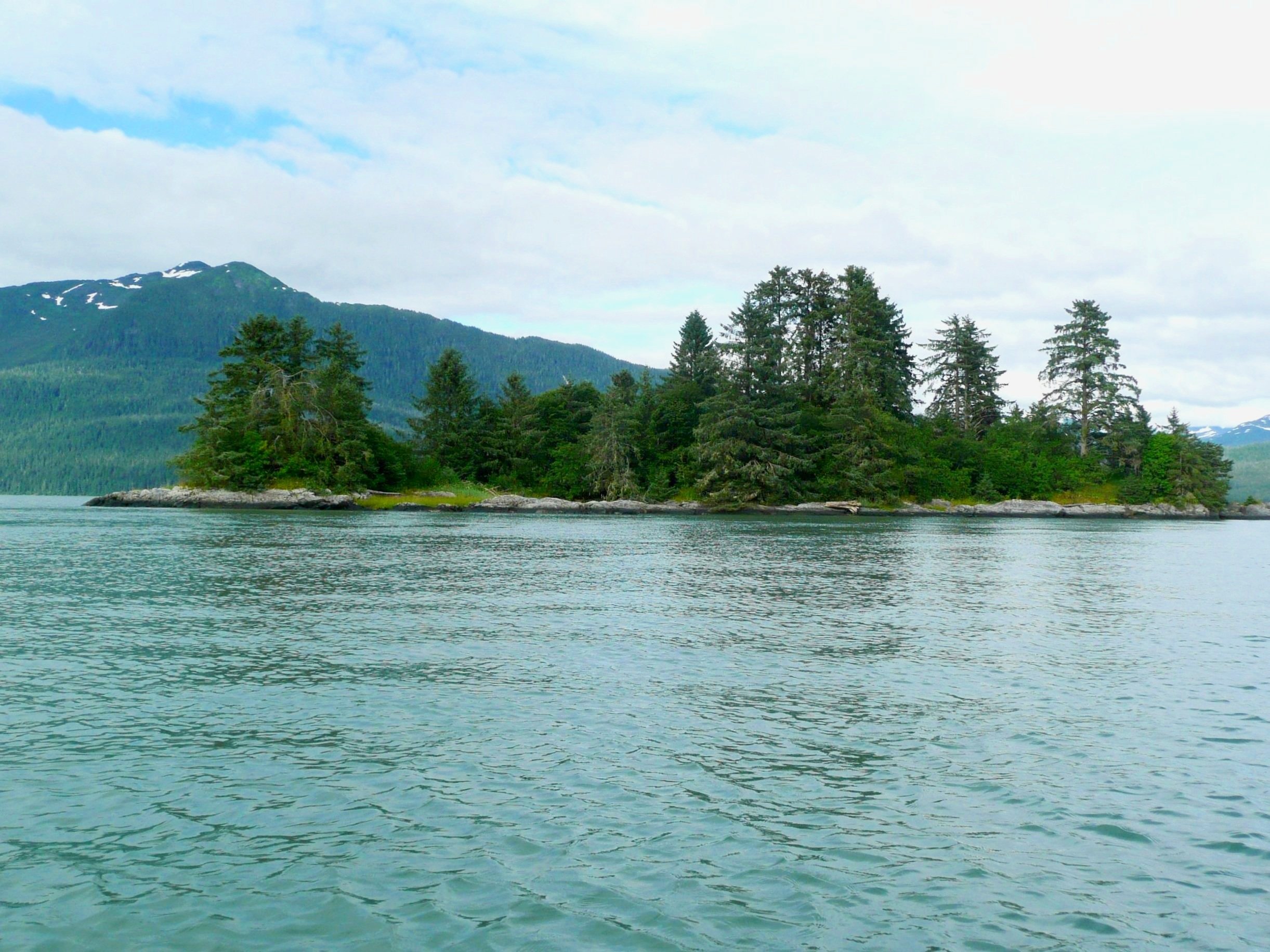
DEADMAN’S ISLAND
Established: Ancient
Graves: One headstone for Shadesty (died 1906).
Location: Half a mile north of the Wrangell Airport runway. (Google Street View)
Local lore holds this as a place where remains of Chinese cannery workers were stored. Traditional Tlingit practice most likely included remains on the island, as well.

CITY PARK CEMETERY
Established: Late 1800s.
Graves: At least two, possibly more.
Directions: The south end of Wrangell City Park. (Google Street View)
While this small collection of headstones sits inside City Park, it is about twenty years older than the park’s official creation. Little has been written about this cemetery in history, leaving more questions than answers.
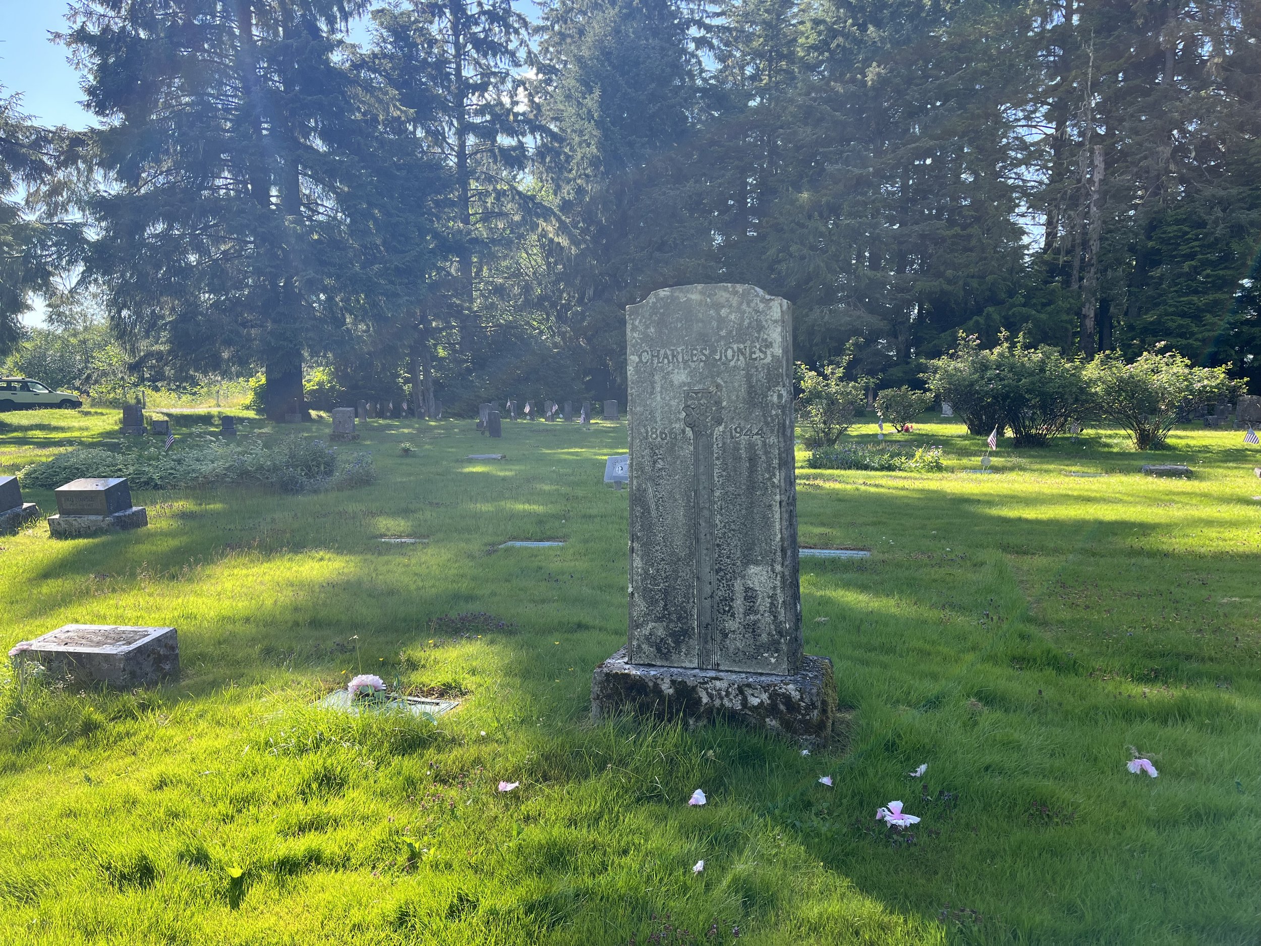
WRANGELL MEMORIAL CEMETERY
Established: 1908 as the Red Men Cemetery
Graves: Roughly 500, and not all are well-marked. (FindAGrave.com)
Directions: 1.4 miles out Zimovia Highway from the Post Office. (Google Street View)
Started by the local Red Men’s Lodge, this was Wrangell’s first flat, green cemetery. The cemetery was the catalyst for much expansion, including a road down the coast, the creation of City Park, the swimming beach, and more.

Moses Shakes Monument
Established: 1911
Graves: No one is buried here, this is a cenotaph.
Directions: The northwest corner of Shakes Island. (Google Street View)
After Moses Shakes was lost on the Stikine River under mysterious circumstances, his family created a monument with the inscription: “In memory of Moses Shakes, son of Chief Shakes, aged 23 Y, was murderd here 12 or 13 day of May 1911. A Christan the Chief decided to be silenc and not go on warpath. I live to pruve the guilty party.”

Sunset Gardens
Established: 1960s
Graves: 250+ (FindAGrave.com)
Directions: 1.5 miles out Zimovia Highway from the Post Office. (Google Street View)
The City and Borough of Wrangell operates this cemetery. As space is taken up, the local government is exploring options for providing additional space, such as inside a columbarium.